Cranford, Alberta is located on the Canadian Pacific Railway's main line between Medicine Hat and the Crows Nest Pass. It was originally known as Neidpath and then Jamieson but both names had aleady been used elsewhere on the prairies. The comunity was established dring the early 1930's with the development of irrigation by the Taber Irrigation District which was later enhanced by the St. Mary's River Irrigation development. A wide range of crops were grown - including sugar beets, peas, corn, a variety of vegetables, fodder crops and or course grain. Almost every farm had livestock and poultry.
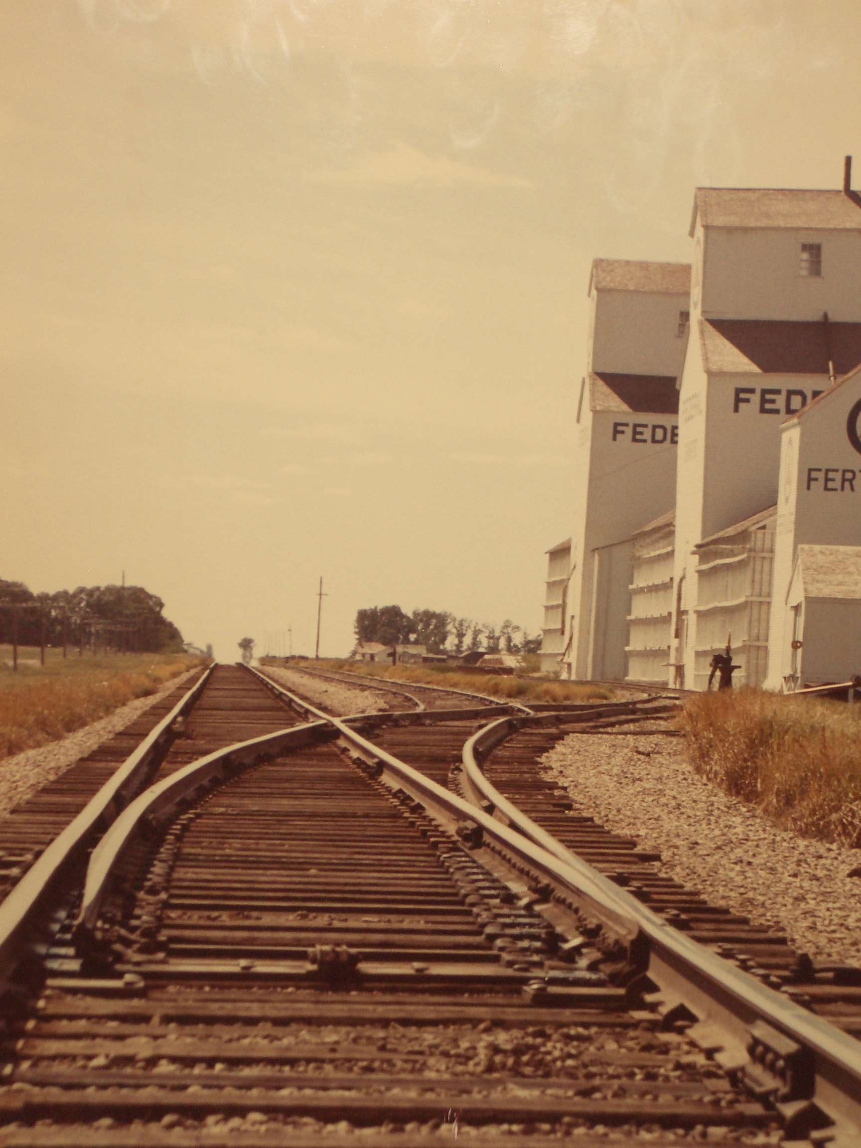
At it's peak, Cranford had a railway station, a general store that also provided automotive and farm vehicle repairs, grain elevators, a community hall, a church and a sugar beet dump to support the suger beet refinerys in south Alberta. The community hall was razed in 2025. (see https://tabertimes.com/news/2025/03/27/cranford-hall-razed-after-long-multi-use-lifespan/ ).
Most of the farms were initially 80 acres which, given the level of mechanization available at that time, were primarily family operation. These families came from all over the world with large numbers of Americans, Czechoslovakians, Hungarians, Japanese, Dutch, Germans and many other nationalities. The inevitable shift to mechanization resulted in consolidation. Demands for labout resulted in significant movement out of the community - at present, the community is made up of large, successful farms that depend on Lethbridge or Taber for support.